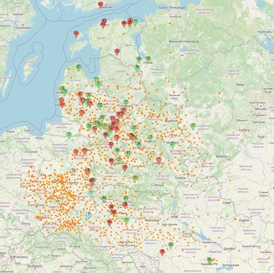
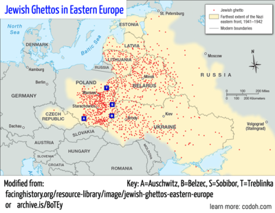
It probably wasn't necessary to include the ghettoes in Poland but they were there already, so I left them.
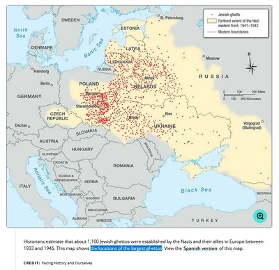
Here is the original, for comparison:
For quick reference, here is the most current RK Ostland map of Zwangarbeitslagers (now with added descriptions for every location, just hover over it): https://www.mapcustomizer.com/map/Zwang ... ndUkraine4
(The descriptions for the map are translated from German via Google so may it have syntax issues; original German is here: https://archive.is/Y1IUO)
I am hoping that these resources together can help piece together an understanding of movement of Jews throughout the war years. What also may be valuable when viewing these maps is comparing the locations shown (and their open-close dates, where given) to the exact progress of the war (e.g. the German or Soviet front) at any given point in time. That's precisely what this video maps out beautifully:
(I'd recommend it without music and at double speed for research purposes.)


