Lamprecht wrote:stinkytoes wrote:Thank you. In my readings, nobody ever mentioned the railway-gauge changes. That is really helpful to know. I also appreciate the Mattogno and Graf citation. Very helpful in addressing my concerns.
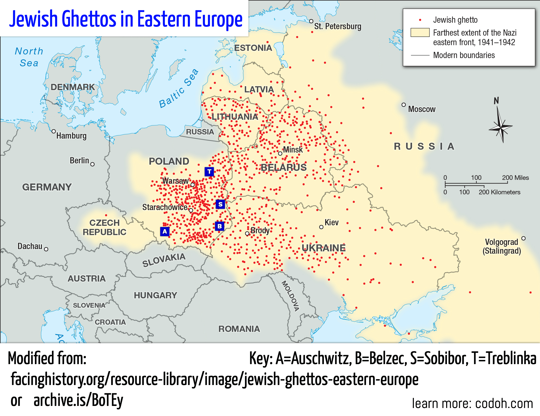
I think we need a map, something like this, but with the railways imposed also on them:
The locations of Treblinka 2, Sobibor, and Belzec makes the most sense in terms of transit camps (as they were called in documents) rather than "pure extermination camps" as they are said to be by the exterminationists.
These 3 camps are located in areas where the railroad guages (width of the track) changed, so that different trains had to be used to continue a journey. Germany and Poland used standard gauge rail lines (1435mm) and the Soviets used wide-gauge lines (1528mm).
More on the importance of railways in WWII:
The Influence of Railways on Military Operations in the Russo-German War 1941–1945
https://archive.vn/b6vfP | https://www.hgwdavie.com/blog/2018/3/9/ ... r-19411945
DEUTSCHE REICHSBAHN – THE GERMAN STATE RAILWAY
https://archive.vn/pH1nb | https://www.feldgrau.com/WW2-German-Sta ... eichsbahn/
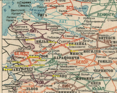
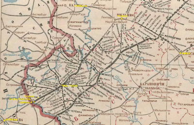
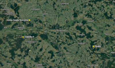
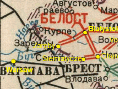
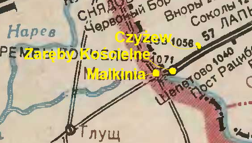
Here are some maps of Soviet railways with the locations of Treblinka, Sobibor, and Belzec added. The locations of these 3 camps is approximated, but should be very accurate given the size. The following 3 locations were already labeled on the map and are known to be very close to the camps:
Влодава (Wlodawa) near Sobibor, under 10km
Малкиня (Malkinia) near Treblinka, under 5km
Томашув (Tomaszow; "Томашев" on this map) near Belzec, under 10km
Treblinka, Sobibor, and Belzec:

(along the left side, towards the center)
Treblinka, Sobibor:

(towards the bottom left)
Belzec:

(top left)
Mirror for 3 pics: https://imgur.com/a/n4Bzri4
The original images are from:
Schemes of railways and waterways of the USSR 1943 (Схемы железных дорог и водных путей сообщения СССР 1943)
https://www.soldat.ru/files/4/10/137/
https://www.soldat.ru/files/4/10/137/ or https://web.archive.org/web/20201025021 ... /4/10/137/
https://web.archive.org/web/20111105072 ... ys1941.png
https://www.soldat.ru/files/f/00000580.jpg
https://www.soldat.ru/files/f/000005c8.jpg
https://www.soldat.ru/files/f/000005c3.jpg
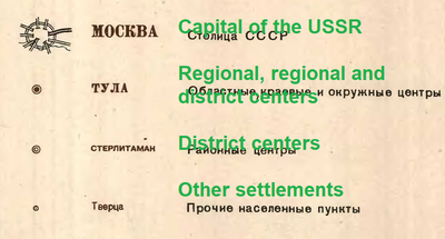
Key:
https://www.soldat.ru/files/f/0000057b.jpg
Another map is featured in Mattogno, Graf & Kues' "The 'Extermination Camps' of 'Aktion Reinhardt'":

A look at a contemporary (1942) map of railway connections (Illustration 7.1) reveals that the shortest route traveling by train to RK Ukraine from the Białystok district would have been from the city of Białystok to Brest Litowsk via Bielsk and Wysokie Litowsk. If one first traveled east from Białystok, one would have to come to Wołkowysk or all the way to Baranowicze (in RK Ostland) before being able to turn south to Brest Litowsk (Wołkowysk–Kleszczele–Wysokie Litowsk–Brest Litowsk or Baranowicze–Bereza Kartuska–Brest Litowsk) or Luniniec (Baranowicze–Hancewicze–Luniniec). If the Białystok–Bielsk–Wysokie Litowsk–Brest Litowsk line was either out of order during the period of late 1942/early 1943 or reserved for higher prioritized traffic so that no Jewish convoys could make use of it, then it would have been logistically more sound to send transports destined for western Ukraine via Treblinka. On the other hand, we have no sources at our disposal indicating that such was the case.
...
A look at a contemporary map (Illustration 7.2)[1606] shows that a considerable part of the western half of the district was actually located to the west of Bełżec, longitudinally speaking, and that a vertical line drawn a mere 60 km east of Bełżec, which was located just south of Tomaszów Lúbelski, almost immediately on the border between the Lublin district and Eastern Galicia (i.e. the former German-Soviet demarcation line from 1939), would include to its west the counties (Kreise) of Rawa Ruska, Sambor, Drohobycz and virtually all of Lwów County (Lemberg-Land) including the city of Lwów, as well as most of the counties of Stryj and Kalusz.

